
The GEODE lab is ready to fly. Our group has invested in an arsenal of unmanned aerial vehicles (UAVs) and accessories to enhance the lab’s research.
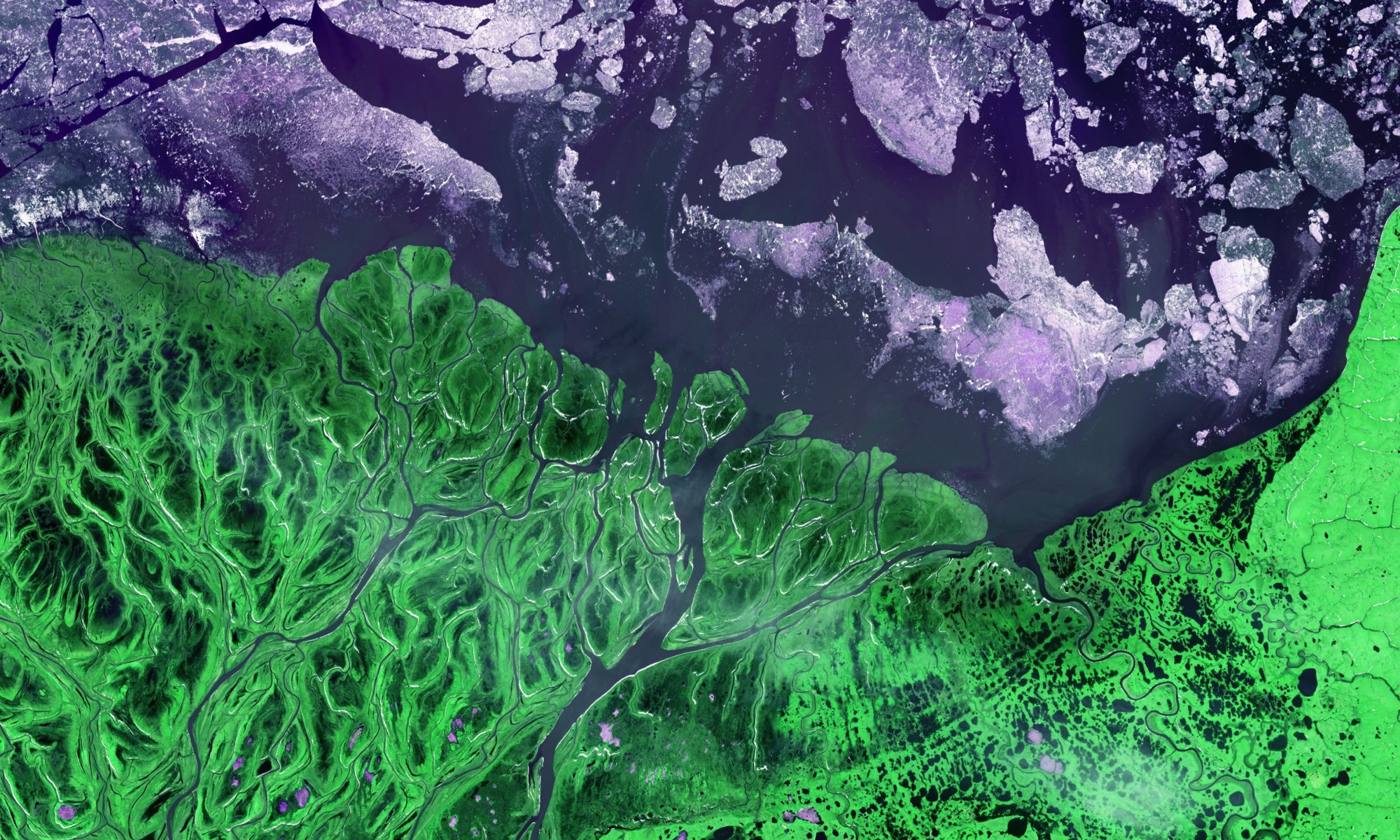
UAV imagery is a natural “bridge” between fine scale field measurements and coarse scale (but spatially expansive) satellite remote sensing.
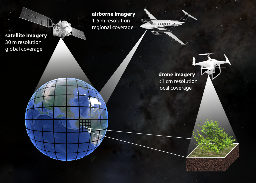
Coming in a variety of shapes and sizes, wings and rotors, UAVs can provide extremely detailed 2D aerial views, with resolution down to sub-centimeter pixels.
The lab’s fleet includes:
- DJI Mavic Pro 2: portable and nimble with 20 megapixel RGB camera, perfect for reconnaissance and capturing breathtaking 1080p video
- DJI Phantom 4 Multispectral: a new offering from DJI that has an integrated multispectral camera with 2 megapixel red, green, blue, red edge and near infrared (NIR) bands, all on global shutters and a stabilizing gimbal. The NIR and red edge bands are critical for vegetation mapping and having a multispectral sensor fully integrated into the drone should ease some headaches in data processing. This drone also features RTK technology which, along with a GNSS receiver, allows for centimeter level accuracy in geolocation.
- senseFly eBee X fixed wing drone with a collection of accessories including:
- RTK capability
- Endurance capability, which allows for flight times up to 90 minutes
- SODA 3D camera which captures 2 oblique and 1 nadir at each time stamp to allow for better 3D site reconstructions
- Micasense RedEdge MX multispectral sensor with 1.2 megapixel red, green, blue, red edge and near infrared (NIR) bands, all on global shutters
- Emlid Reach RS2 GNSS receiver for utilizing drone RTK capabilities
After flight, Structure from Motion technology allows users to transform simple RGB imagery from UAV flights into dense 3D point cloud reconstructions.
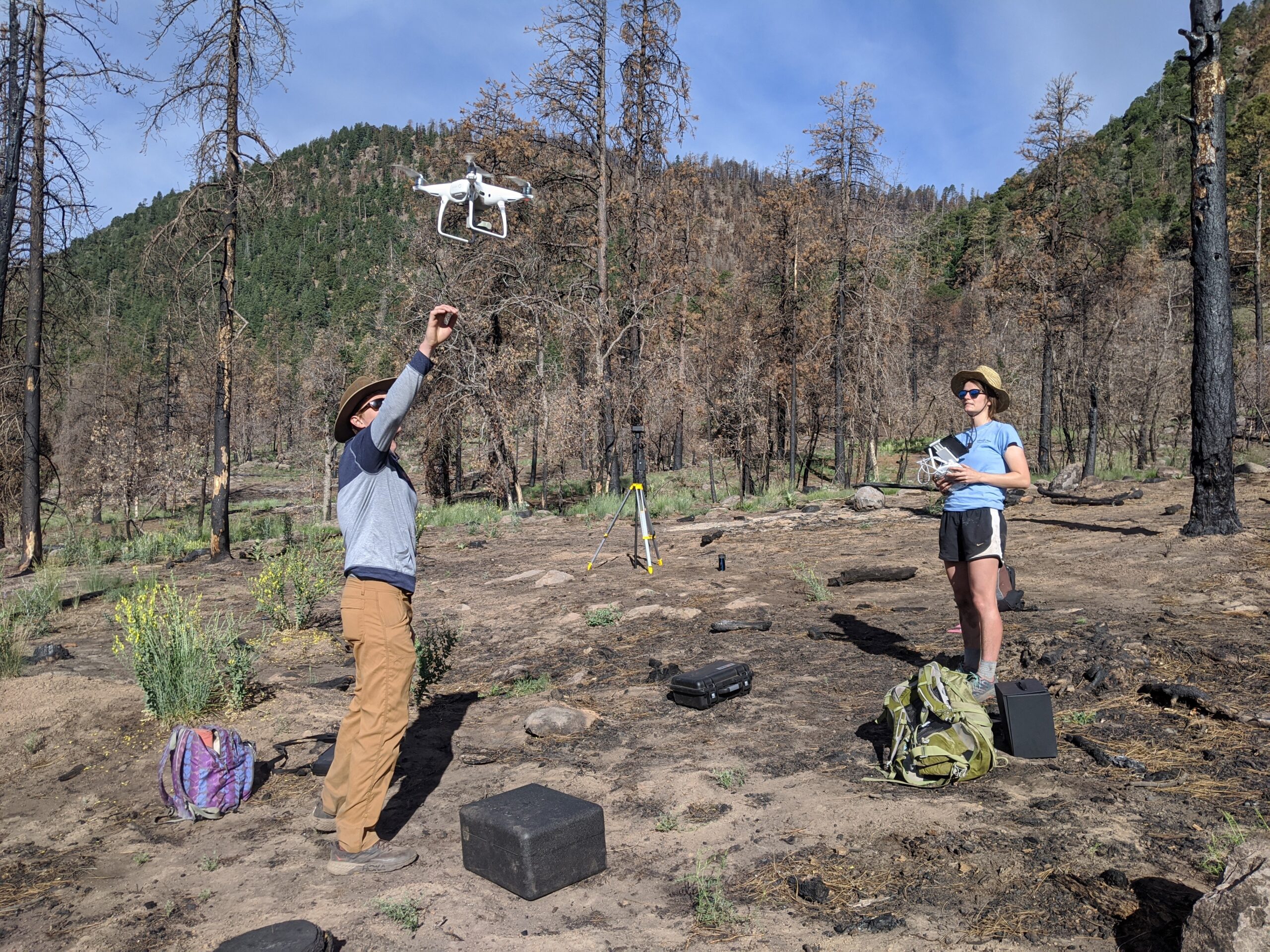
GEODE PhD student Katie Orndahl is already leveraging UAV technology in her work. Orndahl uses a Phantom 4 quadcopter UAV with attached multispectral sensor to survey sites across the Alaskan and Canadian Arctic. She is exploring the feasibility of UAVs for estimating above-ground biomass of tundra ecosystem plant functional types. Ultimately, Orndahl will be using UAV imagery and products as intermediate steps towards producing Landsat based plant functional type above-ground biomass estimates, which will be used to assess caribou habitat and quantify the extent to which caribou density impacts vegetation community composition and structure.
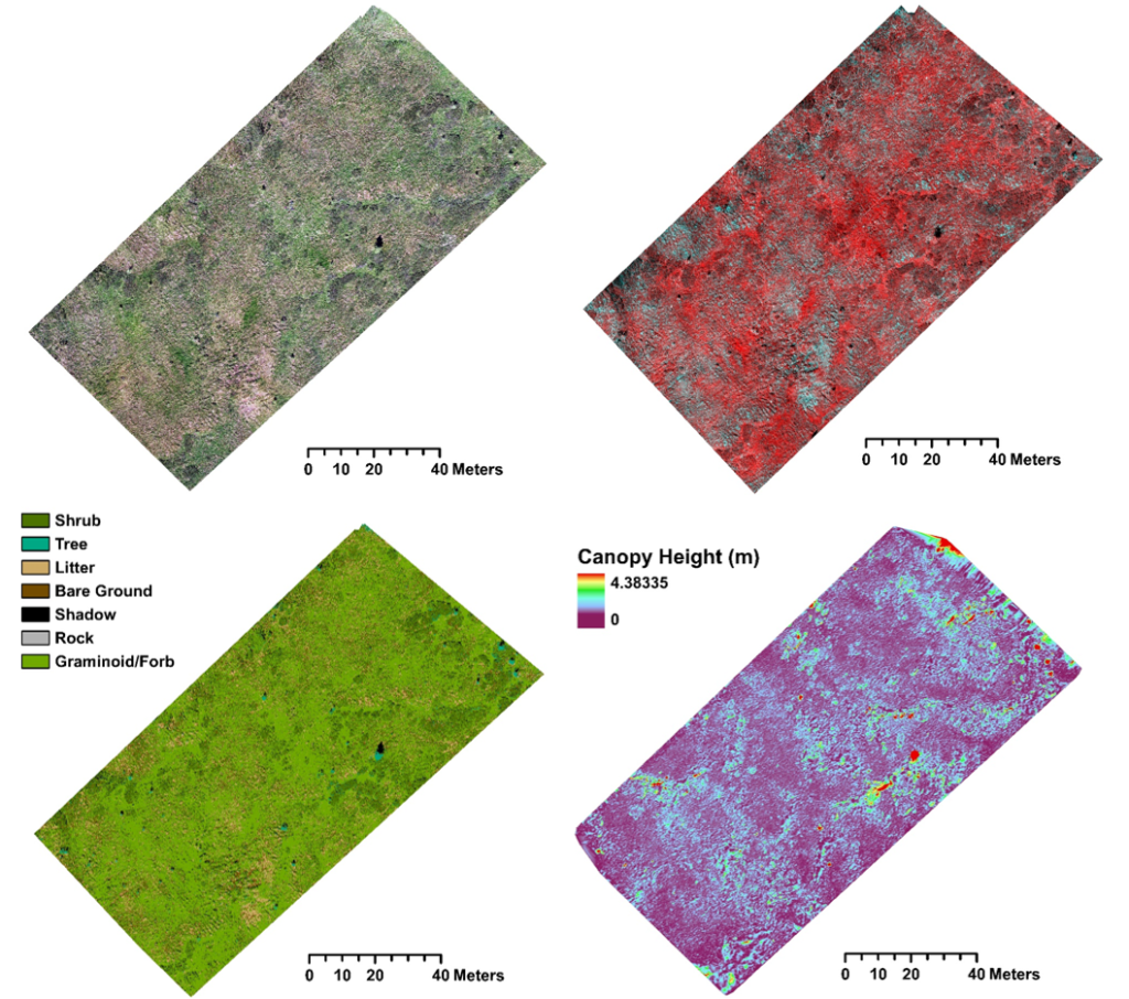
UAV derived products, clockwise from top left: orthomosaic (RGB), orthomosaic (CIR), canopy height, vegetation classification. Credit: Katie Orndahl
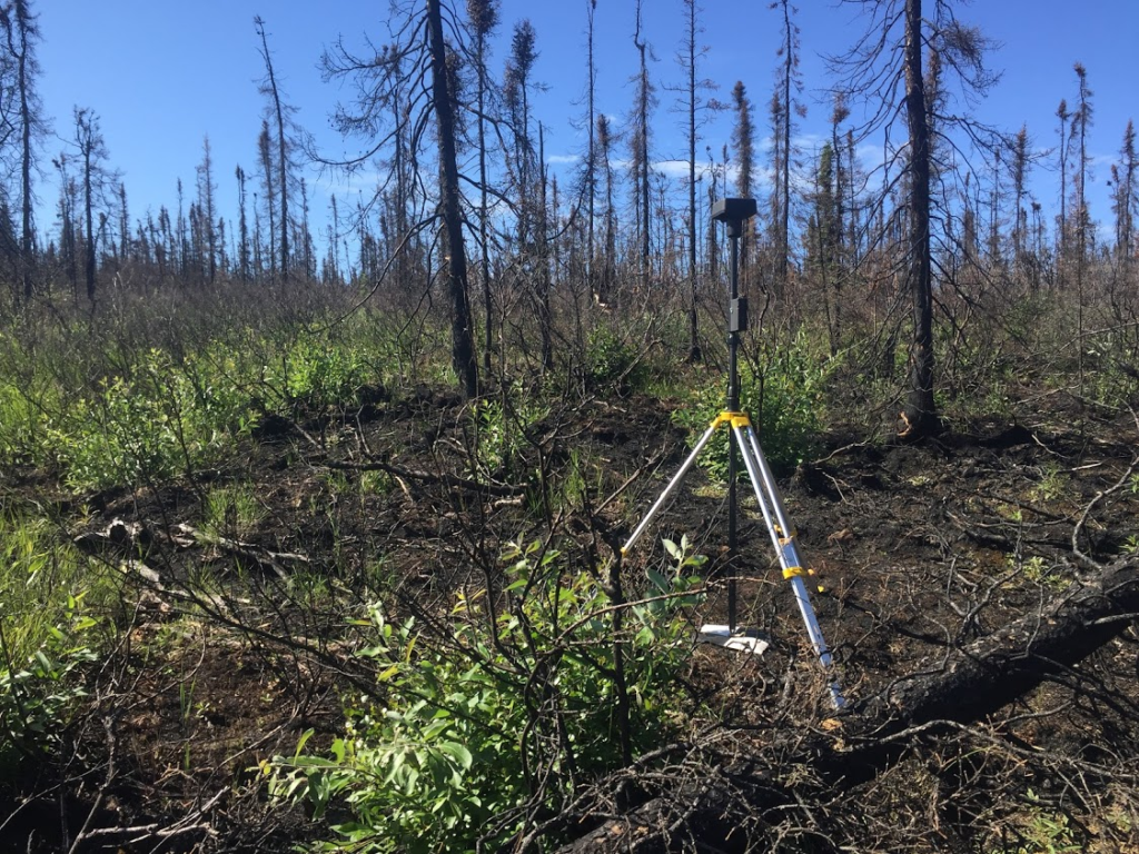
Laura Puckett, a new addition to the GEODE lab, is using UAVs in her PhD work to map above and belowground combustion in boreal forest wildfires. Combustion of deep organic soils from these fires is a large source of carbon to the atmosphere. Dramatic sub-meter heterogeneity in burn severity makes it impractical to relate field measurements to coarse-scale remotely sensed datasets. Laura is exploring the use of UAV imagery as a stepping stone for scaling field measurements to 20m Sentinel-2 pixels for large scale mapping.
Drone technology will be an invaluable resource for the GEODE lab, and members are already scheming up new ideas for integrating UAVs into the lab’s research.
Check out our new research page on to stay updated on UAV based research coming out of the GEODE lab!