The GEODE Lab uses remote sensing to study ecosystem structure and function. Our work focuses on understanding ecosystem responses to environmental change, and modeling interactions between forests, tundra, climate, land use change, disturbance and biodiversity. At the core of much of our work is the question of how vulnerable or resilient ecosystems are in a time of global environmental change.
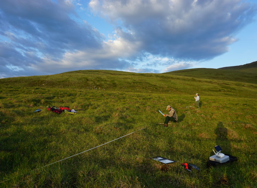
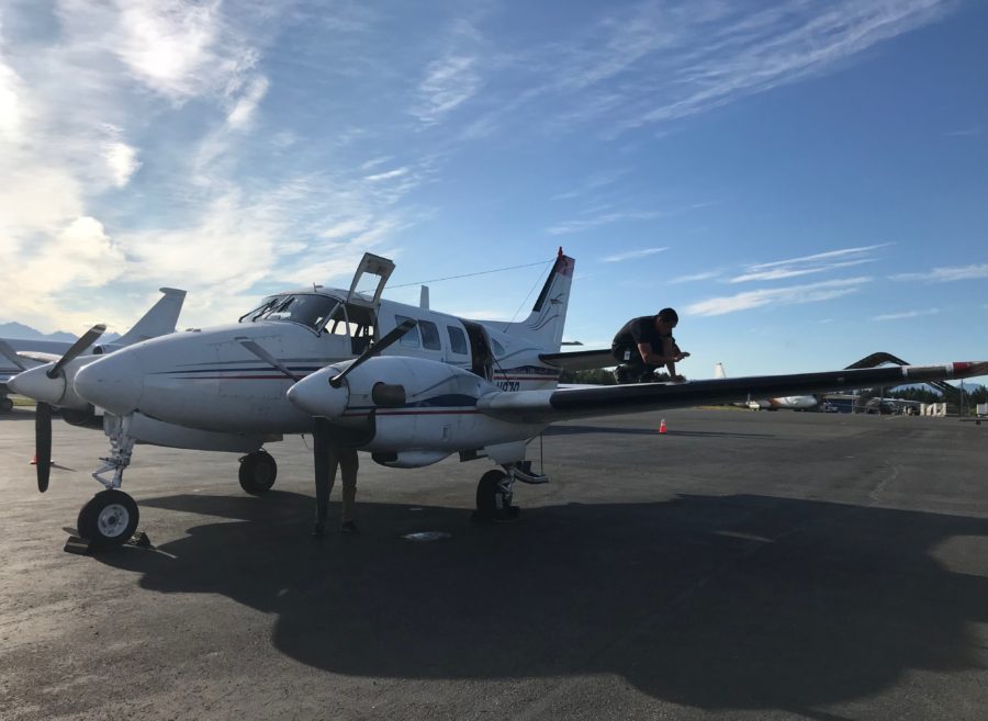
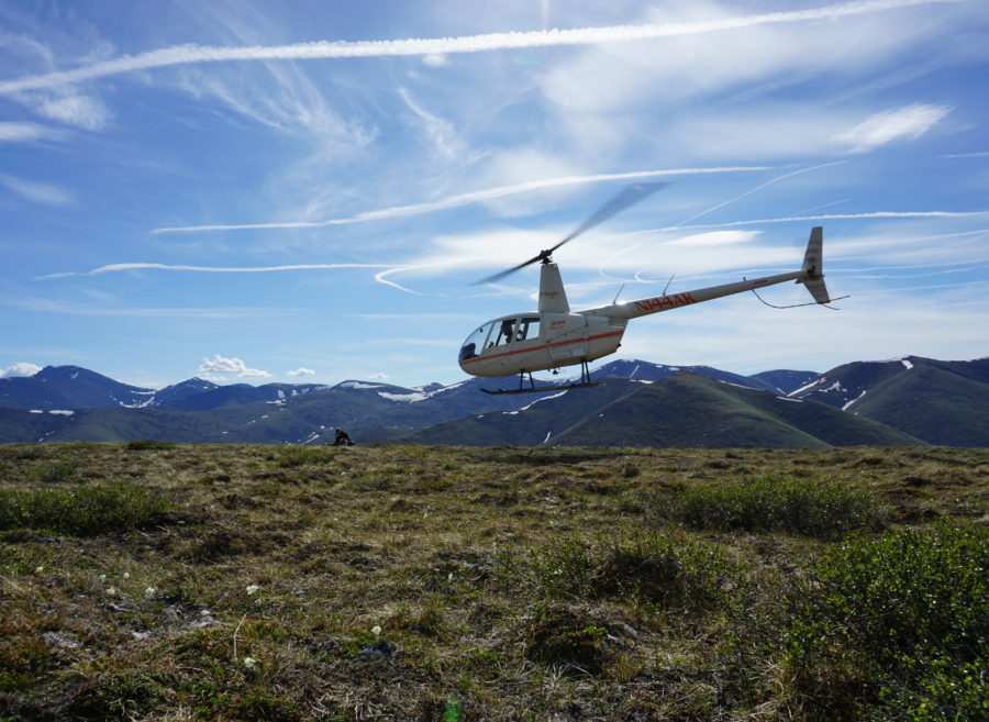
The lab employs a suite of remote sensing (from UAVs to satellite imagery) and machine learning techniques to supplement field data and conduct multi-scale analyses of ecological patterns and processes. We integrate innovative remote sensing and informatics techniques with ecosystem science and theory, working with a diversity of collaborators.
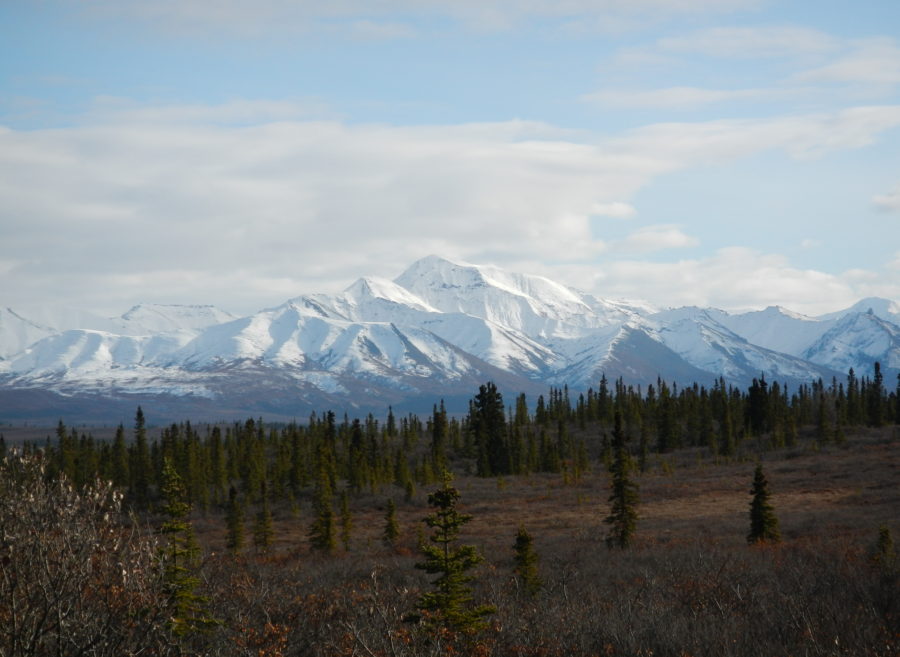
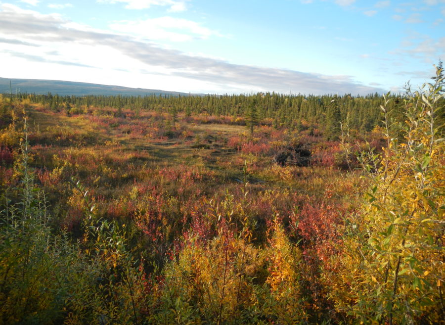
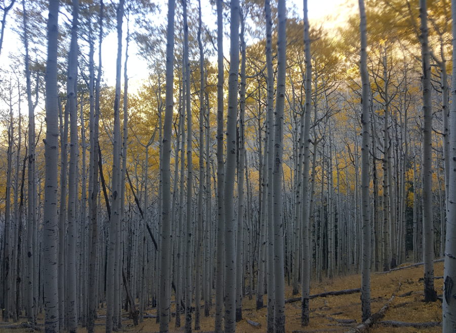
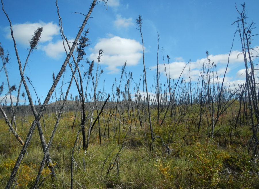
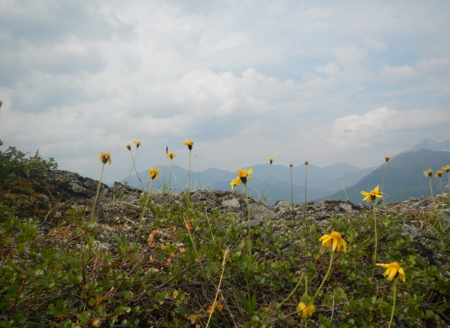
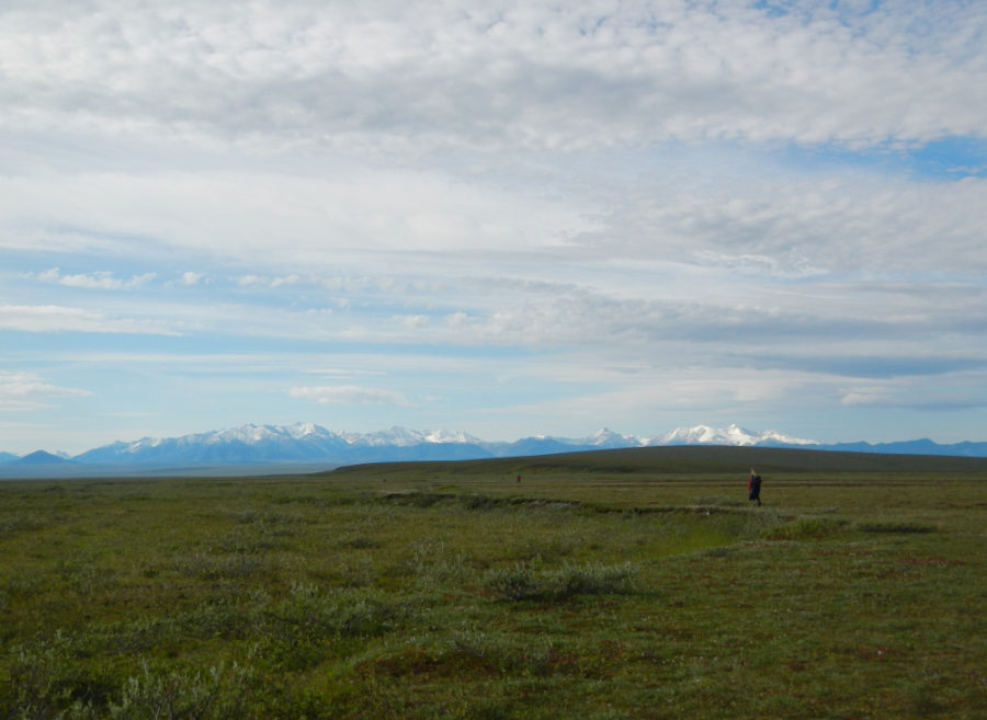
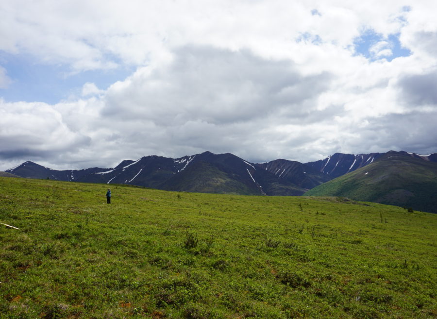
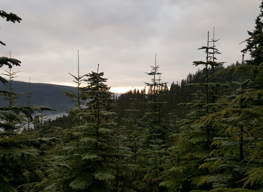
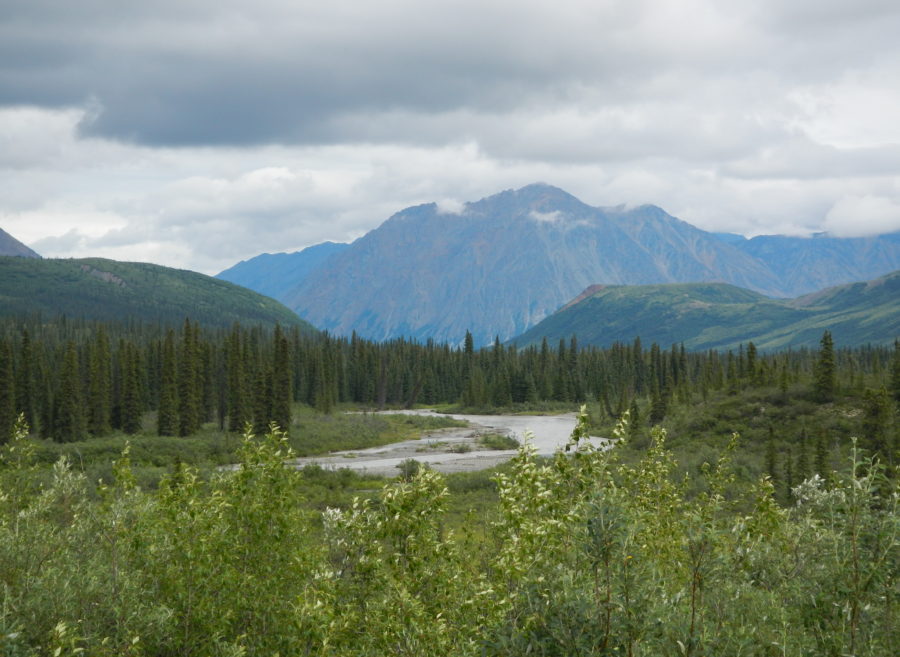
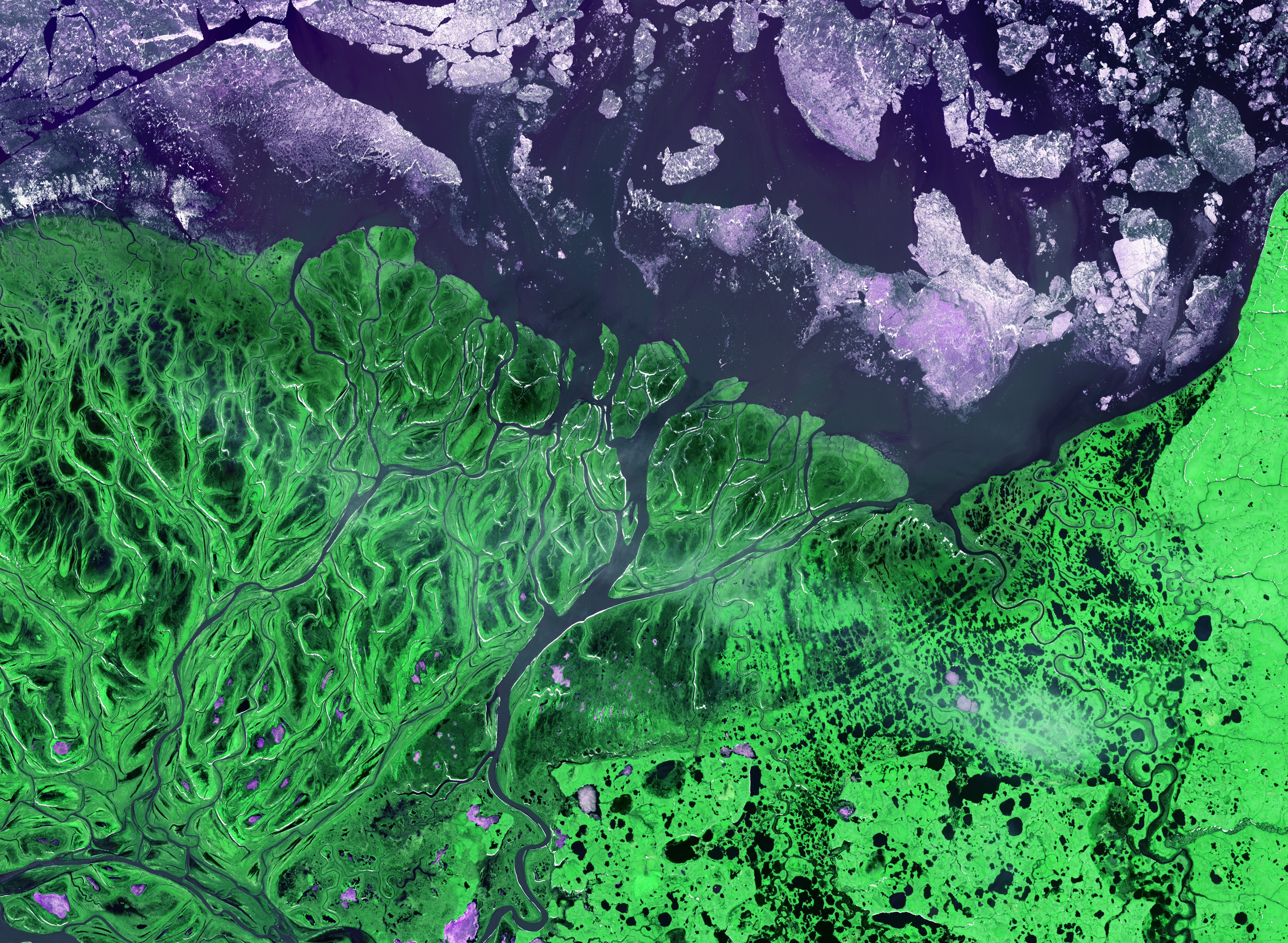
Our research spans the globe – from shrub biomass mapping in Alaska to habitat connectivity analyses in Colombia. See below for a sample of some of the systems we study. Check out the Research tab to learn more about our projects and approach to science.