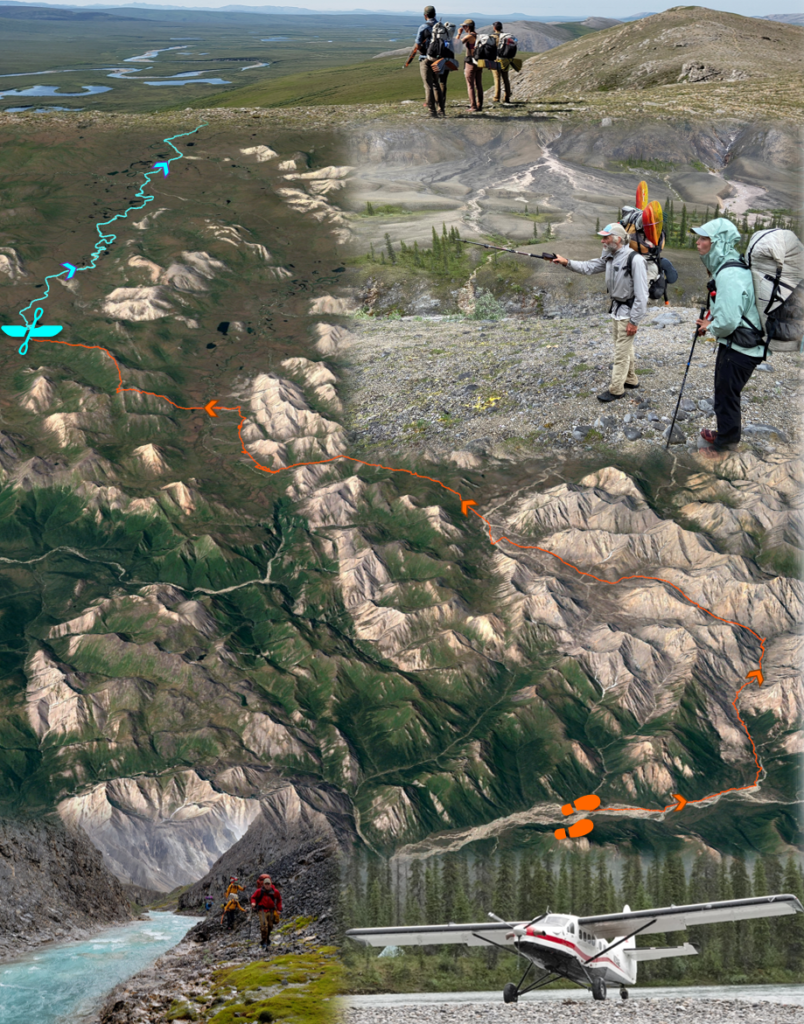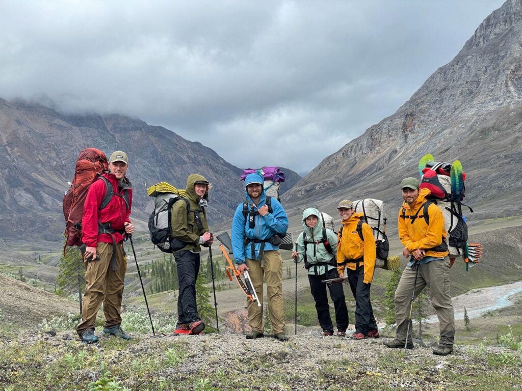
To better understand recent greening and browning in northern Alaska, Professor Roman Dial and his team from Alaska Pacific University (APU) have spent recent summers collecting extensive ecological observations while trekking throughout Alaska’s Brooks Range. They were joined in July 2021 by Dr. Logan Berner and Patrick Burns who are ABoVE Science Team members in the GEODE Lab led by Dr. Scott Goetz at Northern Arizona University. During the course of 11 rain-soaked days, the research team trekked ~80 miles from the northern edge of boreal forest into the Noatak Wilderness where trees give way to thickets of shrubs, wetlands, and barren rocky ridges. While trekking, the researchers collected ecological field data to be linked with measurements of vegetation greenness derived from Landsat satellite observations. Rather than establish time-consuming field plots, then instead used a new technique called “pixel-walking” that harnesses the multifunctionality of smartphones to record and geolocate visual observations of vegetation composition and density while trekking across the landscape. This approach, pioneered by Dial, makes it possible to collect far more spatially extensive information on plant community composition and structure than can be derived from field plots alone. During summer 2021, Dial’s research team pixel-walked over 800 miles from east to west through the Brooks Range, collecting data on vegetation composition for ~100,000 Landsat pixels. Over the coming year, Dial’s team will work with Berner, Burns, and Goetz to link these extensive field data with several decades of Landsat satellite observations. This collaboration will help unravel the mysteries of Arctic greening and browning by shedding light on where, how, and why plant communities changed in recent decades.
Read more about Logan and Pat’s trek in NASA’s Notes from the Field.


