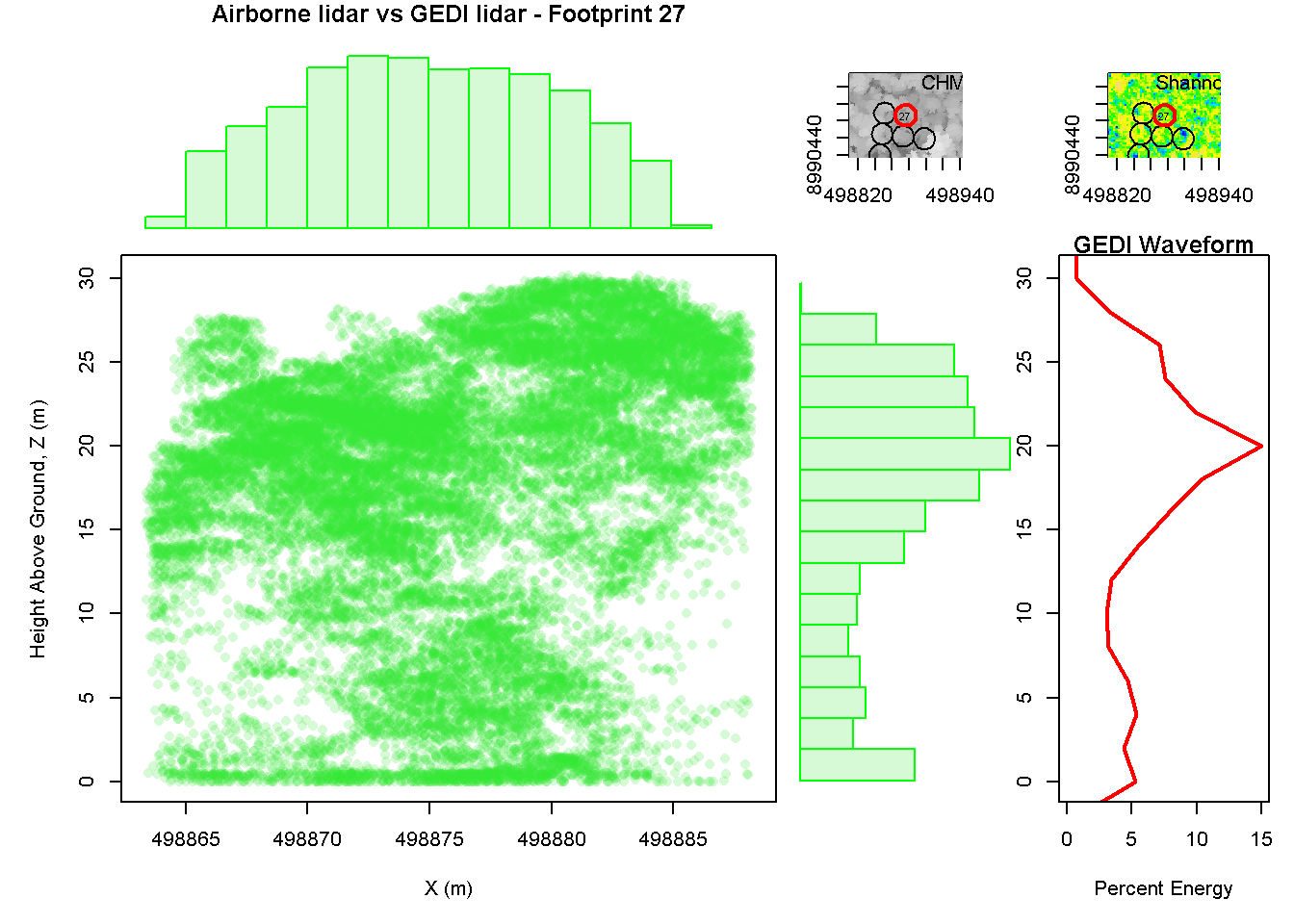
Our NASA Applied Sciences project #80NSSC18K0338, “Quantifying Forest Vertical Structure Using Spaceborne Lidar: A GEOBON Essential Biodiversity Variable Application in Colombia”, supported two workshops in Bogota, Colombia on November 27th and 28th. The first workshop focused on the use and interpretation of air and spaceborne lidar data for biodiversity applications in Colombia. Lab members Pat Burns and Patrick Jantz gave presentations and led interactive exercises using open-source software tools, including R, QGIS, and CloudCompare. Attendees participated in a discussion about potential collaborative efforts to integrate field and drone measurements of forest structure with lidar measurements from a recently launched spaceborne lidar mission, the Global Ecosystem Dynamics Investigation (GEDI).
The second workshop focused on the use of GEDI to develop a forest structure Essential Biodiversity Variable for Colombia. Pat Burns, Patrick Jantz, Andy Hansen, and Bjorn Reu gave presentations on GEDI, the GEO BON Essential Biodiversity Variable concept, mapping forest integrity with Landsat, and the potential contribution of agro-forestry systems to biodiversity in the Colombian Andes. Attendees provided valuable feedback and guidance on initial efforts to characterize forest structure across Colombia. Attendees also participated in a discussion focused on existing and planned forest monitoring efforts that could be used to validate a forest structure EBV.
Attendees included representatives from the Humboldt Institute; faculty and students from universities in Bogota, Medellin, and Bucaramanga; and leaders from forest plot networks across Colombia. Collaborators from the Humboldt Institute, Susana Rodriguez and Maria Cecilia-Londono were instrumental in the success of these workshops.

