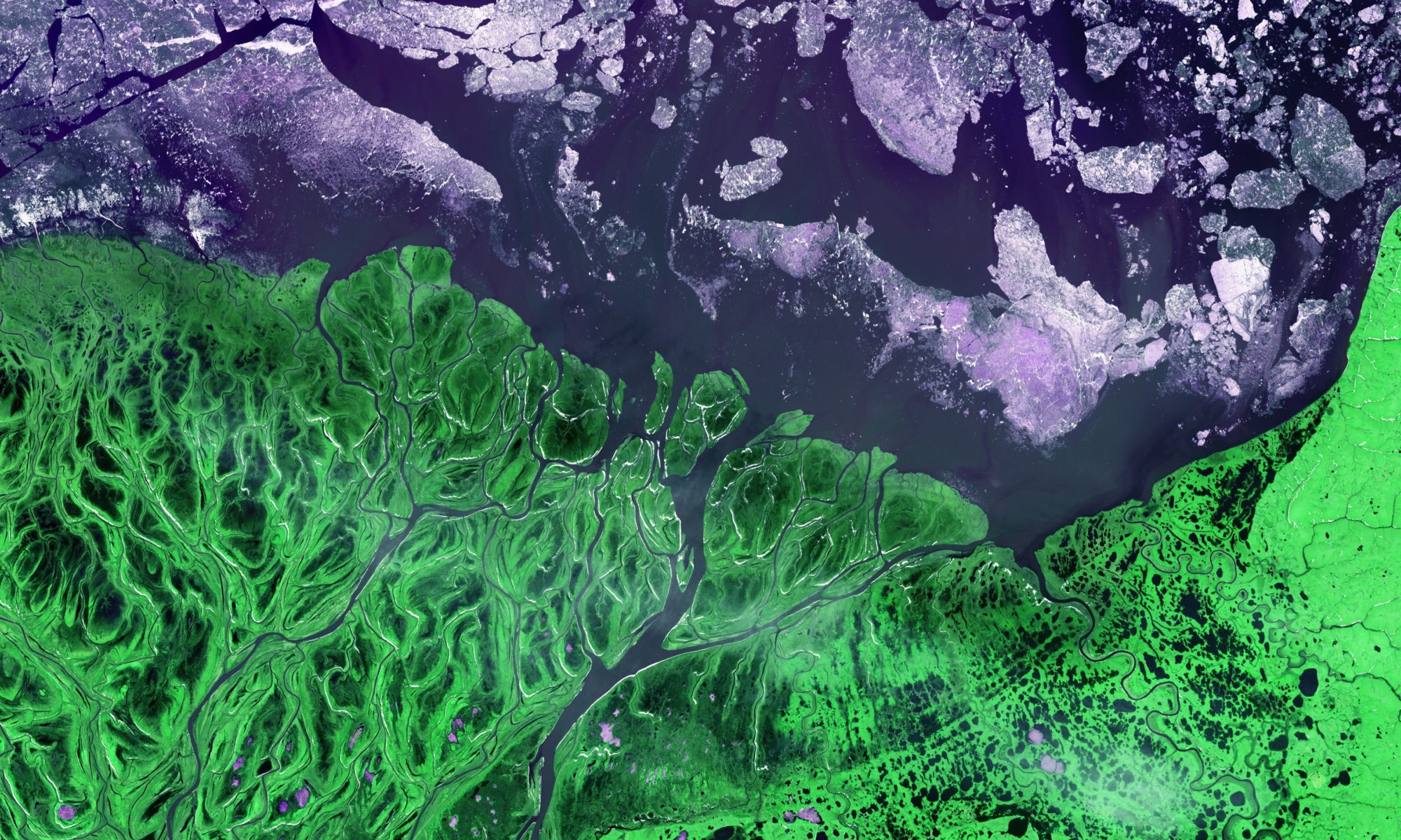
The Arctic Plant Aboveground Biomass Synthesis Dataset
lead
Logan Berner
contibutors
Scott Goetz, Katie Orndahl, Melissa Rose
keywords
Vegetation, plant functional types, synthesis, aboveground biomass
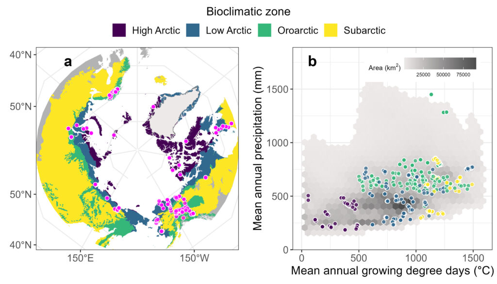
Plant biomass is a fundamental ecosystem attribute that is sensitive to rapid climatic changes occurring in the Arctic. Nevertheless, measuring plant biomass in the Arctic is logistically challenging and resource intensive. Lack of accessible field data hinders efforts to understand the amount, composition, distribution, and changes in plant biomass in these northern ecosystems. Logan and colleagues developed The Arctic plant aboveground biomass synthesis dataset, which includes field measurements of lichen, bryophyte, herb, shrub, and/or tree aboveground biomass (g m−2) on 2,327 sample plots from 636 field sites in seven countries. We created the synthesis dataset by assembling and harmonizing 32 individual datasets. Aboveground biomass was primarily quantified by harvesting sample plots during mid- to late-summer, though tree and often tall shrub biomass were quantified using surveys and allometric models. Each biomass measurement is associated with metadata including sample date, location, method, data source, and other information. This unique dataset can be leveraged to monitor, map, and model plant biomass across the rapidly warming Arctic.
Read more about the synthesis here and download the dataset here.
Developing a gap-free digital surface model for Arctic and Boreal North America
lead
Patrick Burns
Keywords
Digital surface model, topographic mapping, arctic, boreal
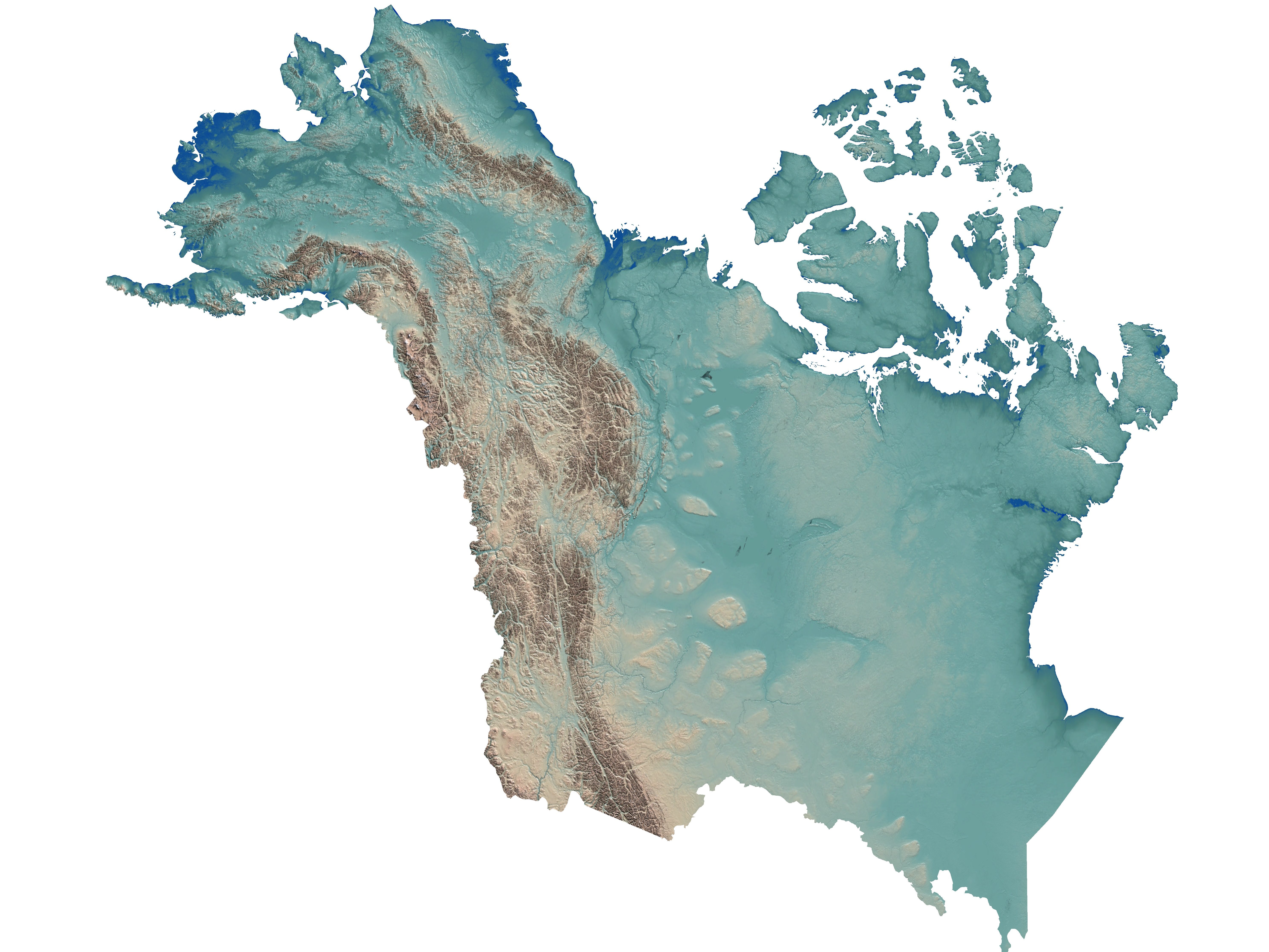
New remote sensing methods and instruments for topographic mapping have greatly increased the availability of gridded elevation datasets covering Earth’s surface. This wave of new data will be particularly impactful for high northern latitudes (> 60 degrees N) which currently lack a singular, extensive high-resolution dataset (such as the Shuttle Radar Topography Mission [SRTM] for low- to mid-latitudes). Our work was focused on creating a gap-free digital surface model (DSM) composite for the NASA ABoVE study domain which covers Arctic and Boreal regions of North America. Existing publicly available datasets covering this domain include Alaska airborne IFSAR, ArcticDEM, ALOS World 3D 30m, SRTM, Canada DEM (CDEM), ASTER GDEM, and GMTED2010. None of the existing datasets provide full (gap-free) coverage over the entire study domain at moderate- to high-spatial resolution. When attempting to simply mosaic these source datasets together complications arise due to different datums, acquisition timeframes, and inherent artifacts. We used a combination of GDAL and the NASA Ames Stereo Pipeline (ASP) to process the source datasets and combine them into a single composite DSM for the entire NASA ABoVE study domain at 10m spatial resolution. GDAL was used to transform all datasets so that they reference the same horizontal and vertical reference frames. ASP was used to co-register and composite the datasets using a prioritization scheme. Vertical accuracy of the new composite DSM was assessed using a variety of datasets including airborne lidar (LVIS), spaceborne lidar (GLAS), and airport runway elevations.
The final 10 m gap-free Arctic DEM product can be found here!
Increasing fire severity and the loss of legacy carbon from forest and tundra ecosystems of northwestern North America
lead
Michelle Mack (NAU)
Co-lead
Scott Goetz
keywords
Legacy carbon, climate change, fire, soil organic layer, carbon cycle, permafrost
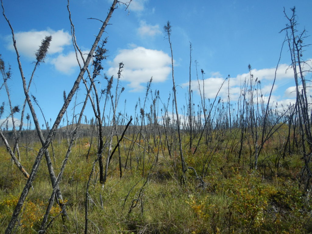
Climate warming is resulting in increased fire frequency, extent and severity at northern latitudes. A significant amount of organic carbon in Arctic and boreal regions is stored in the soil organic layer, and thus carbon released from wildfires as a result of soil organic layer combustion is an important component of the Arctic-boreal ecosystem carbon balance. Of particular importance is “legacy carbon” – soil organic layer carbon pools that have survived previous fires. Combustion of this legacy carbon has the potential to cause a dramatic shift in Arctic-boreal carbon cycling – from a net sink, to a net source. We identified ecosystem, landscape and regional factors that control legacy carbon consumption. This will allow us to assess the effect loss of legacy carbon has on permafrost, soil drainage, carbon cycling, and post fire vegetation recovery.
For more information on this project, see Dr. Mack’s website.
Climate as a driver of shrub expansion and tundra greening
lead
Isla Meyers-Smith (University of Edinburgh)
Co-lead
Scott Goetz
keywords
Shrub expansion, climate change, arctic greening, plant productivity, remote sensing
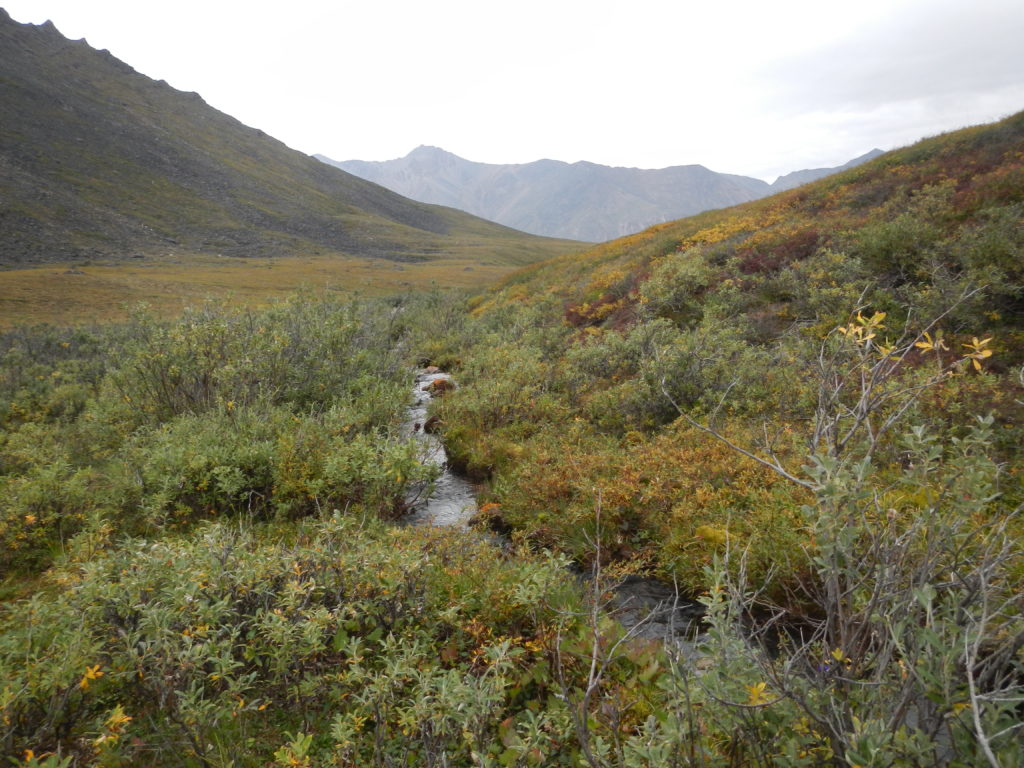
Global warming is happening faster at the poles than anywhere else on Earth. This has implications for vegetation dynamics in arctic tundra. Research has noted trends of increasing plant productivity and biomass, dubbed arctic “greening.” Shrubs in particular appear to be expanding in arctic systems. Shrubs are an important part of the Arctic carbon cycle and major contributors to feedbacks facilitating high-latitude climate warming. Our goal is to quantify the role of climate in arctic “greening” and shrub expansion. We combined field data and remotely-sensed imagery (drone and satellite based) to quantify the strength of climate drivers on shrub expansion, and the rate and extent of shrub expansion.
For more information on this project, see here and here.
Winter respiration in the Arctic: Constraining current and future estimates of CO2 emissions during the non-growing season
Credit: Sarah Ludwig, Sue Natali, John Schade
Lead
Susan Natali (Woods Hole Research Center)
Co-Lead
Scott Goetz
Keywords
Winter respiration, CO2 emissions, climate change, remote sensing, CO2 flux
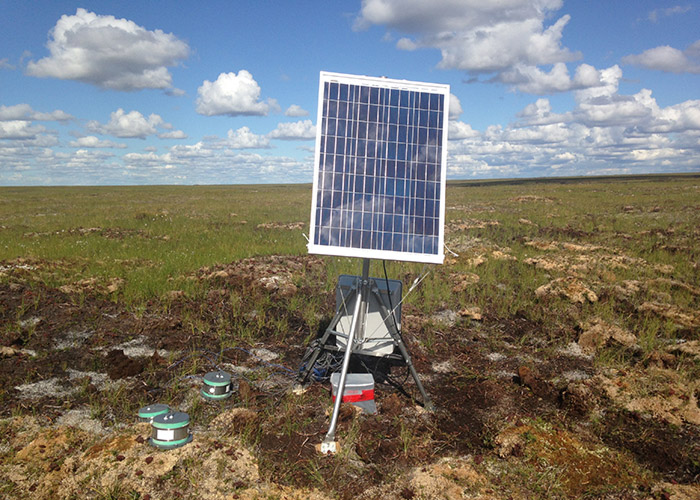
Air temperatures in the Arctic have increased at approximately twice the global rate, with the greatest warming occurring during the winter months. This increase in winter temperature might lead to permafrost thaw, increased winter microbial respiration, and thus increased release of CO2 to the atmosphere. Non-growing season (winter, fall and spring) CO2 emissions are therefore an important aspect of annual CO2 emissions, but current estimates of non-growing season CO2 have large associated uncertainties. We used site level CO2 flux measurements, along with satellite remote sensing data, to measure winter respiration and produce regional estimates of CO2 emissions during the non-growing season. These improved estimates will allow us to better understand carbon flux in Arctic regions.
More information about this project can be found here.
Understanding the causes and implications of enhanced seasonal CO2 exchange in Boreal and Arctic ecosystems
lead
Brendan Rogers (Woodwell Climate Research Center)
Co-lead
Scott Goetz
keywords
CO2 flux, climate change, productivity, respiration, process model, boreal, arctic
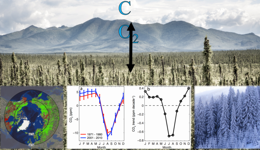
During the last half century, the magnitude of seasonal variability in CO2 exchange has increased by 30-50% in high latitude environments, with two thirds of this change attributed to increased CO2 flux in boreal forest and arctic tundra. Mechanisms for this change have been identified but the relative contributions of each of these mechanisms are not well understood. Given that these increases in seasonal CO2 flux impact carbon cycling and climate feedback in boreal forest and tundra ecosystems, it is important to fully understand the underlying mechanisms.
This project is funded by the NASA Carbon Cycle and Ecosystems Project and is affiliated with ABoVE. More information about this project can be found here.
Regional quantitative cover mapping of Tundra plant functional types in Arctic Alaska and Canada
lead
Scott Goetz, Matt Macander (Alaska Biological Research, Inc.)
keywords
Plant functional types, arctic, tundra, remote sensing, continuous mapping, random forest, machine learning
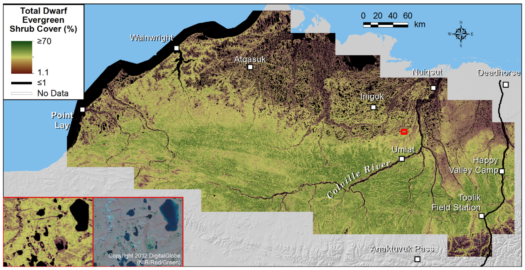
Ecosystem maps are foundational tools that support multi-disciplinary study design and applications including wildlife habitat assessment, monitoring and Earth-system modeling. We have created continuous-field cover maps for tundra plant functional types (PFTs) across Alaska’s North Slope at 30-m resolution, and are now working to expand this mapping across Alaska and Northern Canada. Maps are developed using field-based training data at plots spanning bioclimatic and geomorphic gradients, spectral predictors derived from Landsat satellite observations and gridded environmental predictors. PFT cover is modeled using the random forest data-mining algorithm. Continuous-field maps have many advantages over traditional thematic maps, and our methods are well-suited to support periodic map updates in tandem with future field and Landsat observations.
Read more about this research here.
Remotely based determination of key drivers influencing movements and habitat selection of highly mobile fauna throughout the ABoVE study domain
lead
Natalie Boelman
nau contributor
Katie Orndahl
Keywords
Wildlife movement, habitat selection, caribou, passerine, raptors, ungulates, predators, trophic systems, arctic, boreal
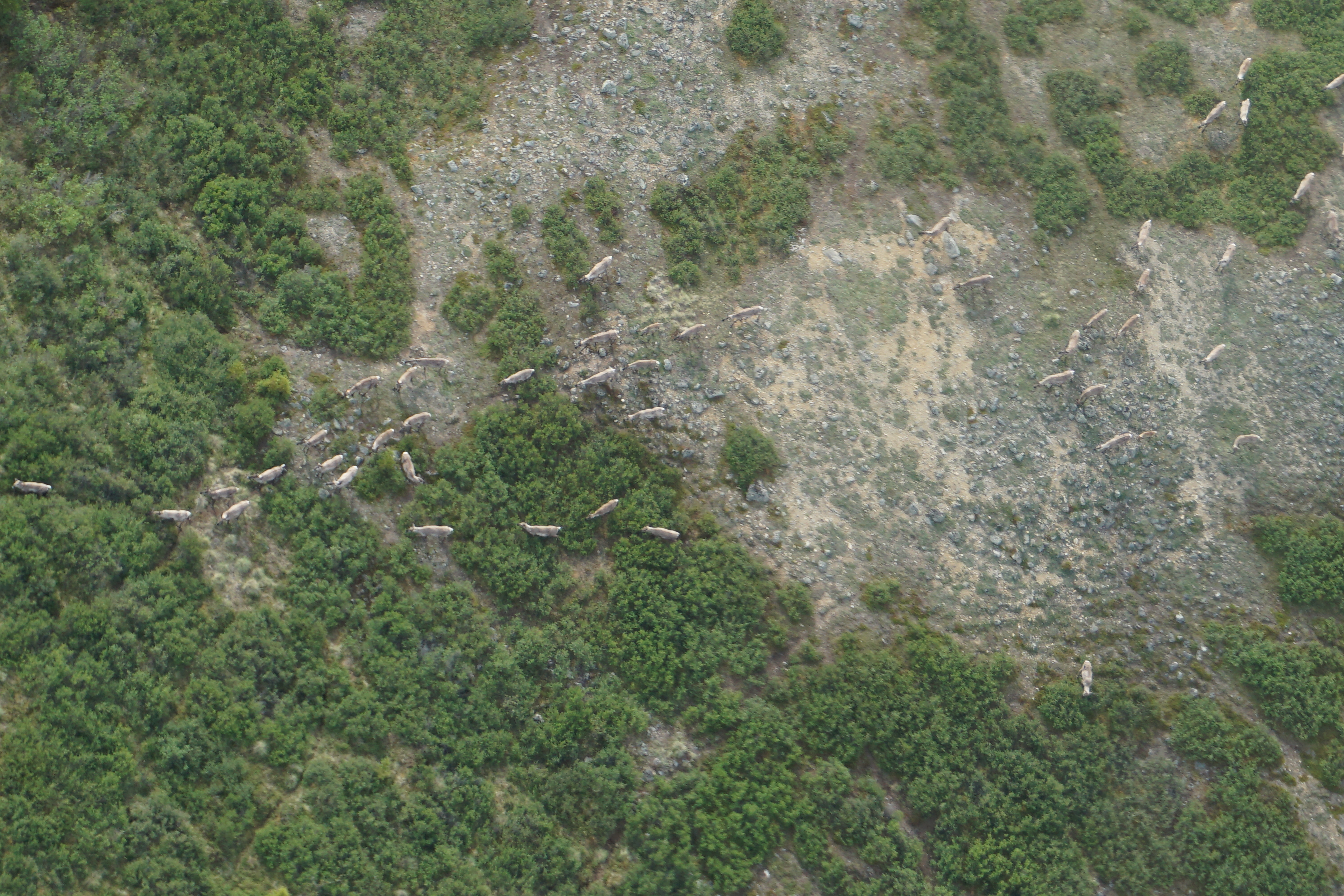
Arctic-Boreal regions (ABRs) of North America are warming at a rate almost three times higher than the global average, and the biophysical responses are acute. Most regional scale studies to date have explored consequences on biogeochemical cycling and energy balance. Far less attention has been paid to the vulnerability and resilience of wildlife throughout the ABR, despite the fact that the region hosts the planet’s most diverse neotropical migrant songbird communities; caribou, which are among the most abundant long range migratory large herbivores in the Northern Hemisphere; and intact yet threatened mammalian trophic systems. Many ABR species play unique ecological roles and are of cultural and economic significance to indigenous people. Our overarching science goal is to understand how highly mobile terrestrial fauna navigate and select habitat in the rapidly changing ABoVE Study Domain. We used space-based wildlife tracking technology to build an integrated dataset of regional-scale and near-continuous descriptions of passerine (American robins), raptor (Golden Eagles), ungulate (caribou, moose), and predator (wolf and brown bear) locations with both static and dynamic remote sensing products and other regional-scale geospatial datasets (Obj.1). We then used this data to build empirically based statistical movement and habitat selection models for multiple groups of animals across the ABoVE Study Domain (Obj.2). The integrated dataset and associated models led to wide ranging new insights on Arctic wildlife ecology. The geospatial tools and products will be made accessible to natural resource agencies, wildlife managers, First Nations, Alaskan natives, and other stakeholders to aid them in management and adaptation decisions (Obj.3).
This project is part of ABoVE. More information about this project can be found here.
Fortymile caribou herd habitat relationships
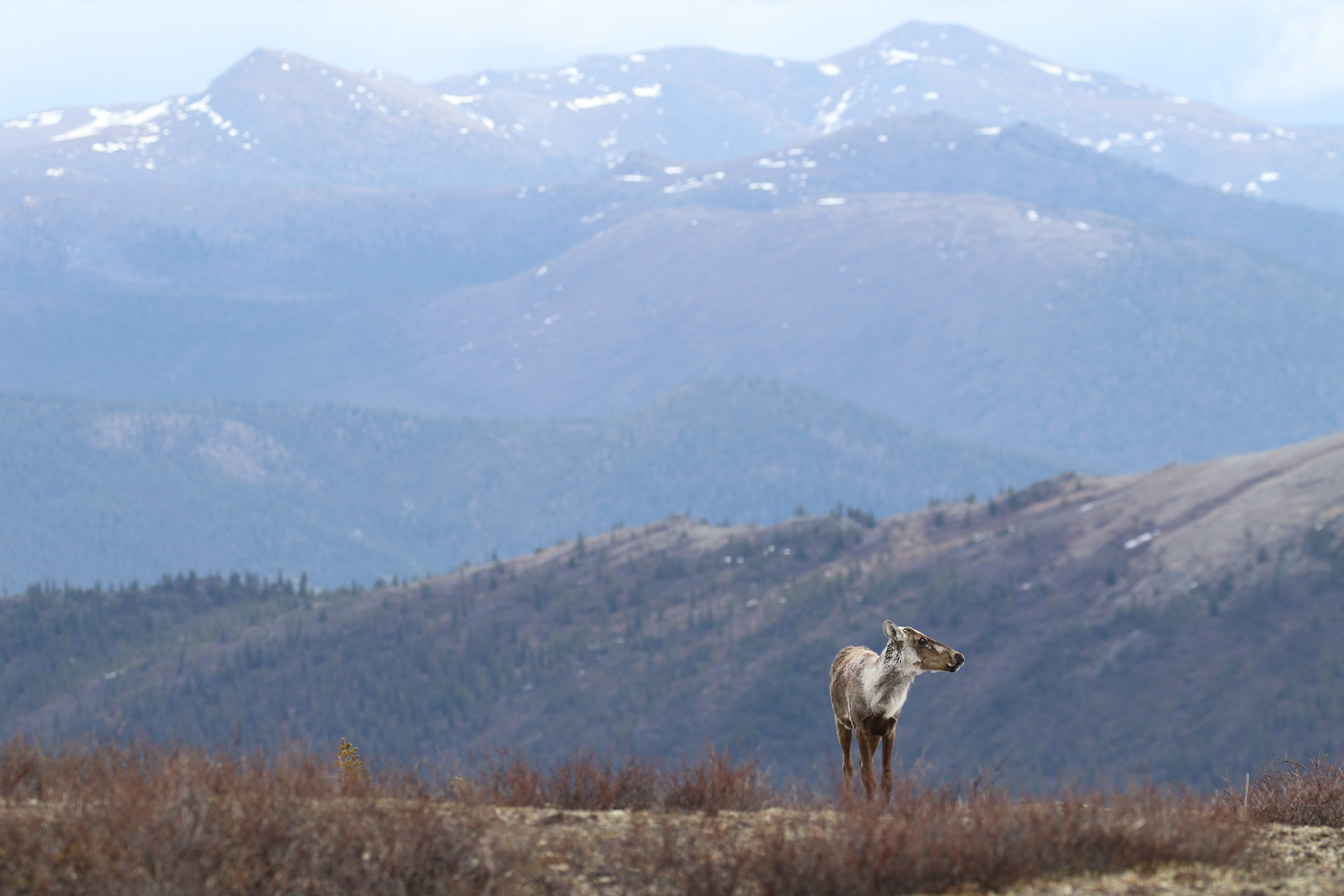
Image credit: Libby Ehlers/Jim Herriges
lead
Mark Hebblewhite
nau contributor
Katie Orndahl
Keywords
Resource selection functions, habitat selection, caribou, unmanned aerial vehicles, biomass mapping, overgrazing, herbivory, arctic, boreal
We used time-series of VHF and GPS spatial telemetry location data from 1993 – present within the Fortymile caribou herd range to characterize how caribou use available habitats in the Fortymile caribou range. Using spatial environmental products, we identified the caribou habitat features and environmental covariates that are most important to maintaining widespread and productive caribou numbers within the Fortymile caribou range using Resource Selection Functions (RSFs). These habitat and movement models are being used across spatiotemporal scales to understand the effects of landuse change, fire, and climate change on the spatial distribution of caribou habitat over time. We worked closely with Alaska Department of Fish and Game (ADFG) partners to link these changes in habitat to population consequences. We also used intensive field sampling and unmanned aerial vehicles (UAVs) to collect data on lichen and other important caribou forage plant functional types (PFTs, e.g. shrubs, graminoids, forbs) and map above-ground biomass of these PFTs across time and space. This was done across a spatial gradient of Fortymile caribou herd density to understand potential impacts of overgrazing on this high density caribou herd. These models will also allow us to track grazing impacts on available forage over time using historic telemetry location data.
This project is part of ABoVE. More information about this project can be found here.
Tundra plant above-ground biomass and shrub dominance mapping across the North Slope of Alaska
Lead
Logan Berner
Keywords
Above-ground biomass, tundra, Landsat, shrub dominance, Arctic greening, shrub expansion, remote sensing
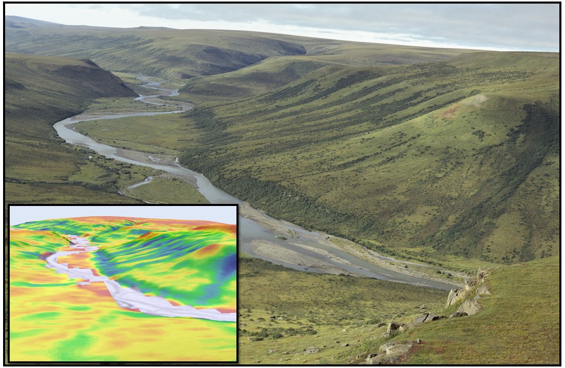
Arctic tundra is becoming greener and shrubbier due to recent warming. This is impacting climate feedbacks and wildlife, yet the spatial distribution of plant biomass in tundra ecosystems is uncertain. We mapped plant and shrub above-ground biomass (AGB; kg m−2) and shrub dominance (%; shrub AGB/plant AGB) across the North Slope of Alaska by linking biomass harvests with 30 m resolution Landsat satellite imagery. In addition, we leveraged uncrewed aerial vehicles (UAVs) to bridge the spatial gap between field data and satellite imagery and map biomass for discrete plant functional types (PFTs) across Alaska and Northwest Canada.
Determining the vulnerability and resilience of boreal forests and shrubs across Northwestern North America
lead
Rosanne D’Arrigo (Lamont Doherty Earth Observatory)
Co-lead
Scott Goetz
keywords
Vulnerability, resilience, remote sensing, tree-ring studies, greening, browning, biome shift
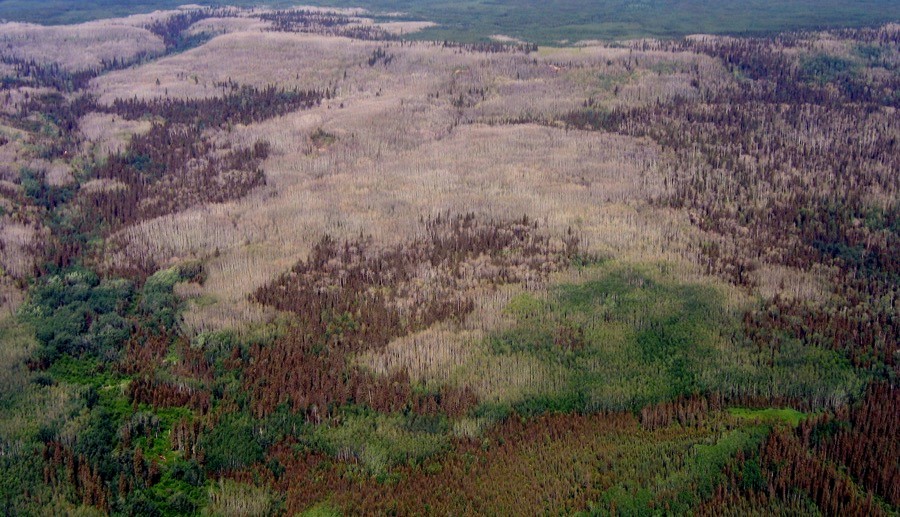
This project’s integration of remote sensing and tree-ring studies of vegetation yielded a comprehensive assessment of the impact of climatic and environmental change on tree and shrub growth across the taiga and tundra ecosystems of northwestern North America, provided insight into their vulnerability and resilience, and allowed inferences to be made on how they are likely to be altered in the future. Tree and shrub growth in the Arctic is important because it regulates climate through a range of feedback mechanisms that are not only complex but also rapidly changing with climate warming.
This project was funded by NSF’s Arctic Natural Sciences program and was affiliated with ABoVE. More information about this project can be found here.
Tundra above-ground vegetation biomass estimation
Lead
Katie Orndahl
Keywords
Unmanned aerial vehicles, biomass, vegetation structure, carbon cycling, tundra, remote sensing
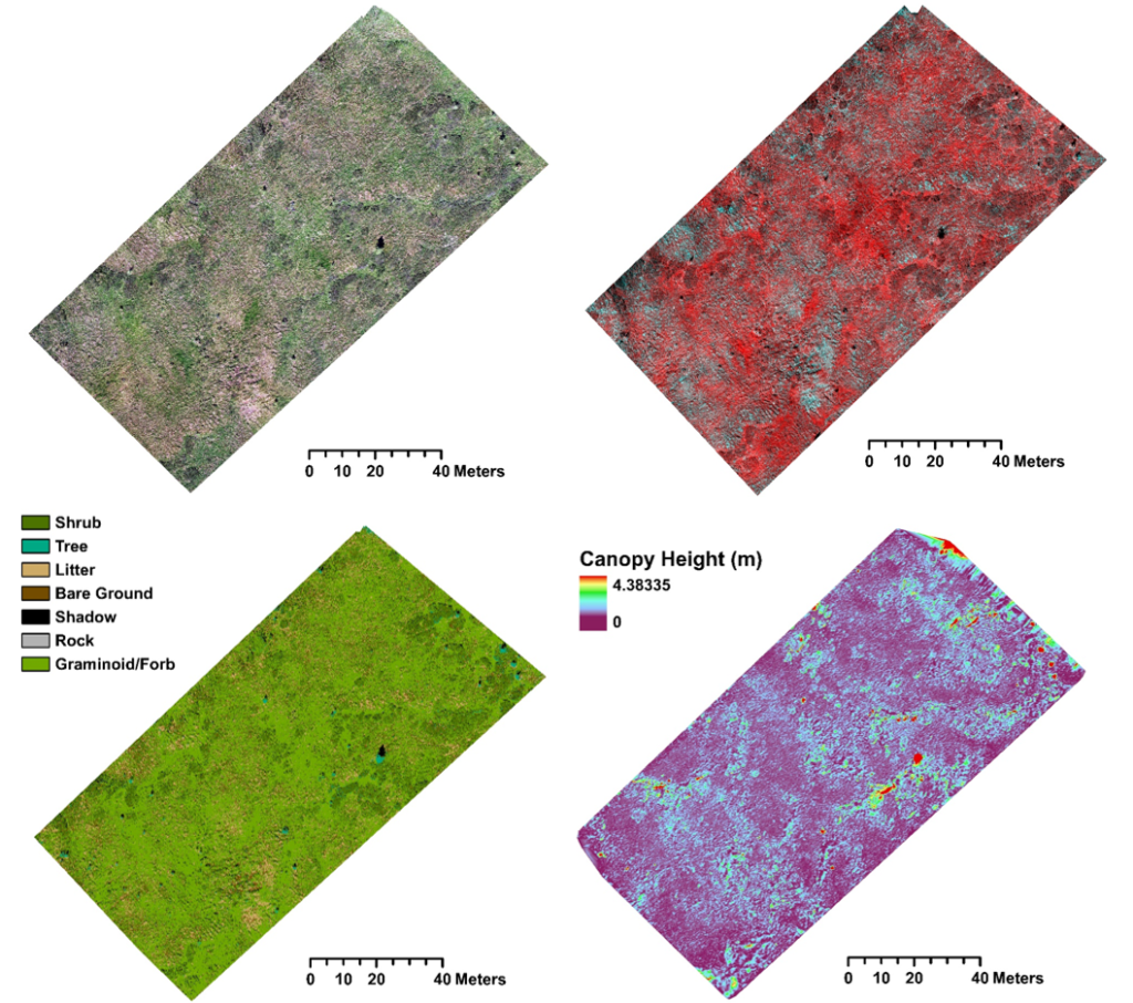
GEODE PhD student Katie Orndahl leveraged UAV technology in her work. Orndahl used a Phantom 4 quadcopter UAV with attached multispectral sensor to survey sites across the Alaskan and Canadian Arctic. This project explored the feasibility of UAVs for estimating above-ground biomass of tundra ecosystem plant functional types. The UAV imagery and products were used as intermediate steps towards producing Landsat based plant functional type above-ground biomass estimates, which were then used to assess caribou habitat and quantify the extent to which caribou density impacts vegetation community composition and structure. Read more about Katie’s work with UAV-based vegetation mapping here.
Measuring above and below-ground combustion from boreal wildfires
Lead
Laura Puckett
Keywords
Unmanned aerial vehicles, biomass, combustion, carbon cycling, wildfire, boreal forest, remote sensing
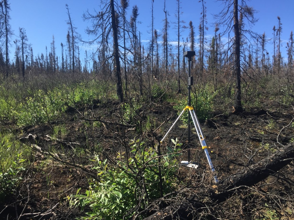
Laura Puckett used UAVs in her PhD work to above and below-ground combustion in boreal forest wildfires. Combustion of deep organic soils from these fires is a large source of carbon to the atmosphere. Dramatic sub-meter heterogeneity in burn severity makes it impractical to relate field measurements to coarse-scale remotely sensed datasets. Laura explored the use of UAV imagery as a stepping stone for scaling field measurements to 20m Sentinel-2 pixels for large scale mapping.
Resiliency and Vulnerability of Boreal Forest Habitat across DoD Lands of Interior Alaska
lead
Scott Goetz
keywords
Boreal forest, resilience, vulnerability, climate change, fire regime, remote sensing, vegetation productivity
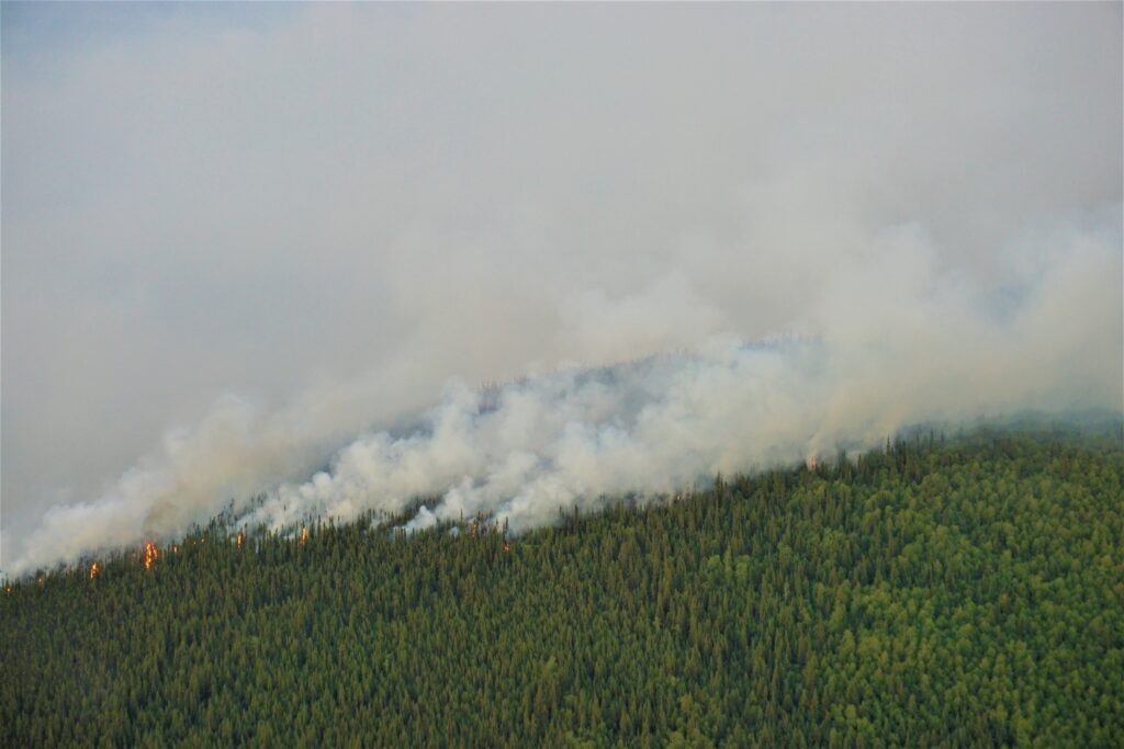
The objective of this project is to investigate changing vegetation dynamics across Department of Defense (DoD) lands of interior Alaska, building upon prior work documenting changes in arctic and boreal vegetation over the past three decades. This will be done while using multi-scale satellite observations and associated geospatial data sets and field measurements. This work will be couched in a framework assessing the resiliency and vulnerability of boreal forest composition, thus in habitat, to observed changes in climate (temperature and moisture changes and variability) and related fire regimes.
This project is funded by the DoD’s Strategic Environmental Research and Development Program (SERDP). Learn more about SERDP and this project.
Mapping boreal forest deciduous fractional cover across Alaska and Western Canada
lead
Richard Massey
Keywords
Deciduous fraction, random forest, machine learning, remote sensing, fire disturbance, boreal forest, tree mortality
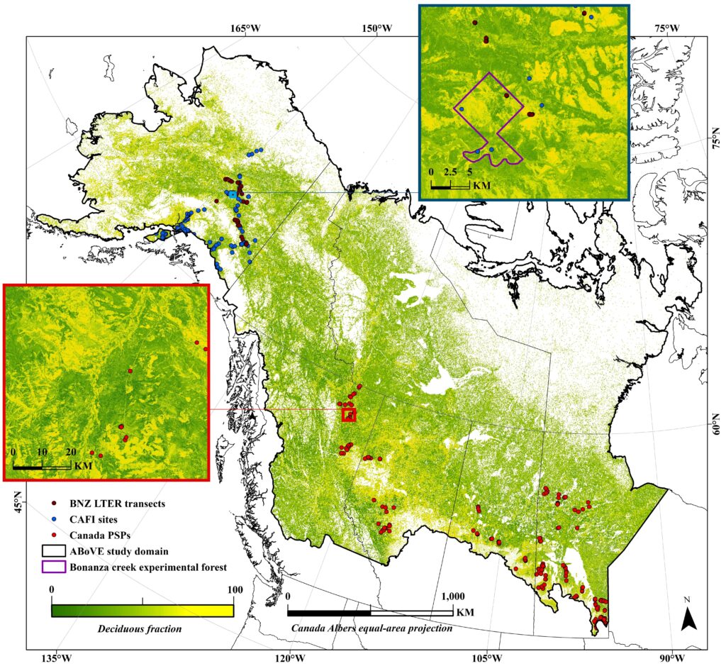
Deciduous forests differ from evergreen in terms of carbon cycling, energy partitioning, and wildlife habitat use. Increased severity of fire disturbance and other factors associated with climate change can alter the vegetation deciduous fraction (DF), but maps of DF are limited in terms of spatial and temporal resolution and extent. We are mapping the spatial distribution of percent deciduous cover at 30 m across the Arctic Boreal Vulnerability Experiment (ABoVE) domain in Alaska and Western Canada using Landsat data in the nominal years 1990, 2000, 2010, and 2016. We developed a Random Forest-based regression approach for mapping DF using Landsat data and ground sample plots, and mapping uncertainty based on variance among decision tree outputs of Random Forest models. Our unique large-scale deciduous fraction maps enable assessment of boreal forest composition changes induced by tree mortality from drought, insects, or fire disturbance for the entire ABoVE domain in addition to providing valuable insights in the change drivers.
Read more about this work here and download the dataset here.
Multi-Scale Modeling of Boreal Forest Vegetation Growth Under the Influence of Permafrost and Wildfire Interactions
lead
Adrianna Foster
Keywords
Individual tree-based modeling, boreal forest, climate change
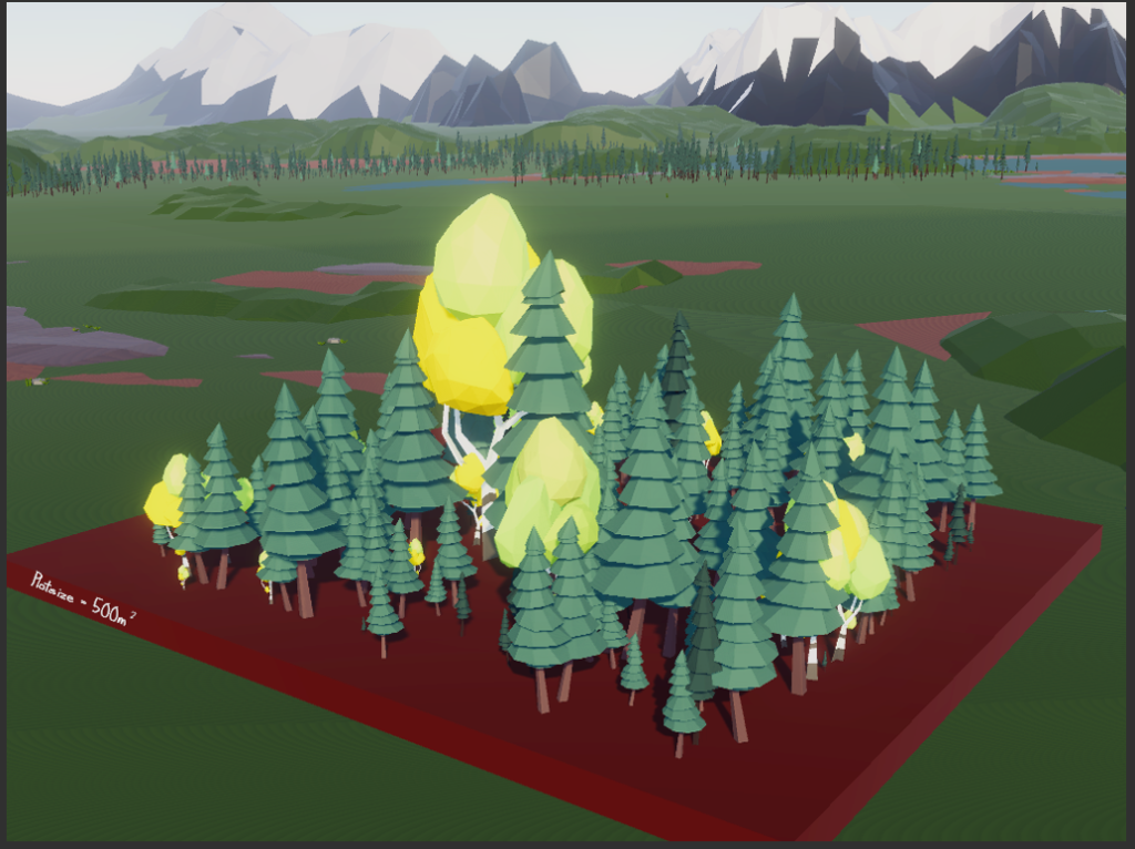
The boreal zone of Alaska is highly influenced by climate and by climate-driven disturbances such as wildfire. Future climate change is likely to cause changes in both the climate and disturbance regimes of Interior Alaska. These changes have the potential to affect the species composition, biomass, and forest structure of the boreal zone. It is uncertain how vegetation will respond to ongoing climate change, and the addition of disturbance effects leads to even more complicated and varied scenarios. Through ecological modeling, we have the capacity to examine forest processes at multiple temporal and spatial scales, allowing for the testing of complex interactions between vegetation, climate, and disturbances. The University of Virginia Forest Model Enhanced (UVAFME) is an individual tree-based forest model that has been updated for use in boreal Interior Alaska, with a new permafrost model and updated fire simulation. We used this updated model to simulate several different scenarios involving interacting climate change, fire, and forest composition. These simulations advanced our understanding of the possible futures for the Alaskan boreal forest, which is a valuable part of the global carbon budget.
Read more about this work here and here.
Developing a spatially-explicit understanding of fire-climate forcings and their management implications across the ABoVE domain
Lead
Brendan Rogers (Woods Hole Research Center)
Co-Lead
Scott Goetz
Keywords
Fire, boreal forest, net radiative forcing, albedo, carbon consumption, climate change, remote sensing
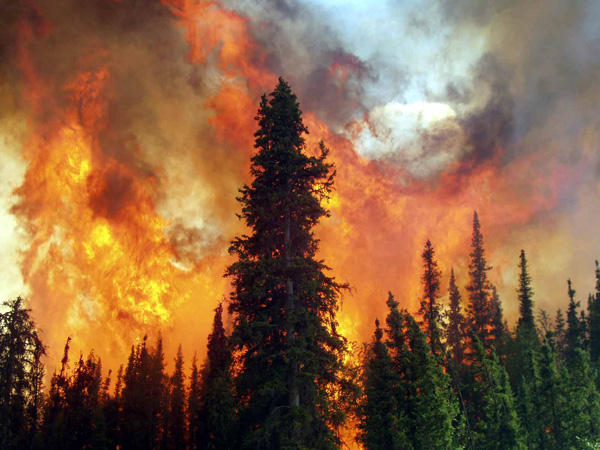
Fire is the dominant disturbance in boreal North America and regulates ecosystem composition and land-atmosphere exchanges of carbon, water, and energy. Multiple lines of evidence point to an intensification of the fire regime due to climate change; these disturbances, in turn, influence climate through multiple and often counteracting pathways. We used remote sensing data to investigate net radiative forcings from forest fires in the ABoVE domain. We did this by quantifying carbon consumption, long-term changes in albedo and vegetation biomass regrowth, and using this data to model current and future fire forcings. This work was done in conjunction with fire managers and scientists from various government agencies in Alaska and Canada.
To learn more about this project, see here.
