
Informing UN-assisted National Biodiversity Strategy Action Plans with Earth Observations
Principal Investigator
Patrick Jantz
Collaborators
Scott Goetz (Northern Arizona University), Andrew J. Hansen (Montana State University), Jamison Ervin (United Nations Development Program), Matt Hansen (University of Maryland), Linda Phillips (Montana State University), Oscar Venter (University of British Columbia), James Watson (Wildlife Conservation Society)
Overview
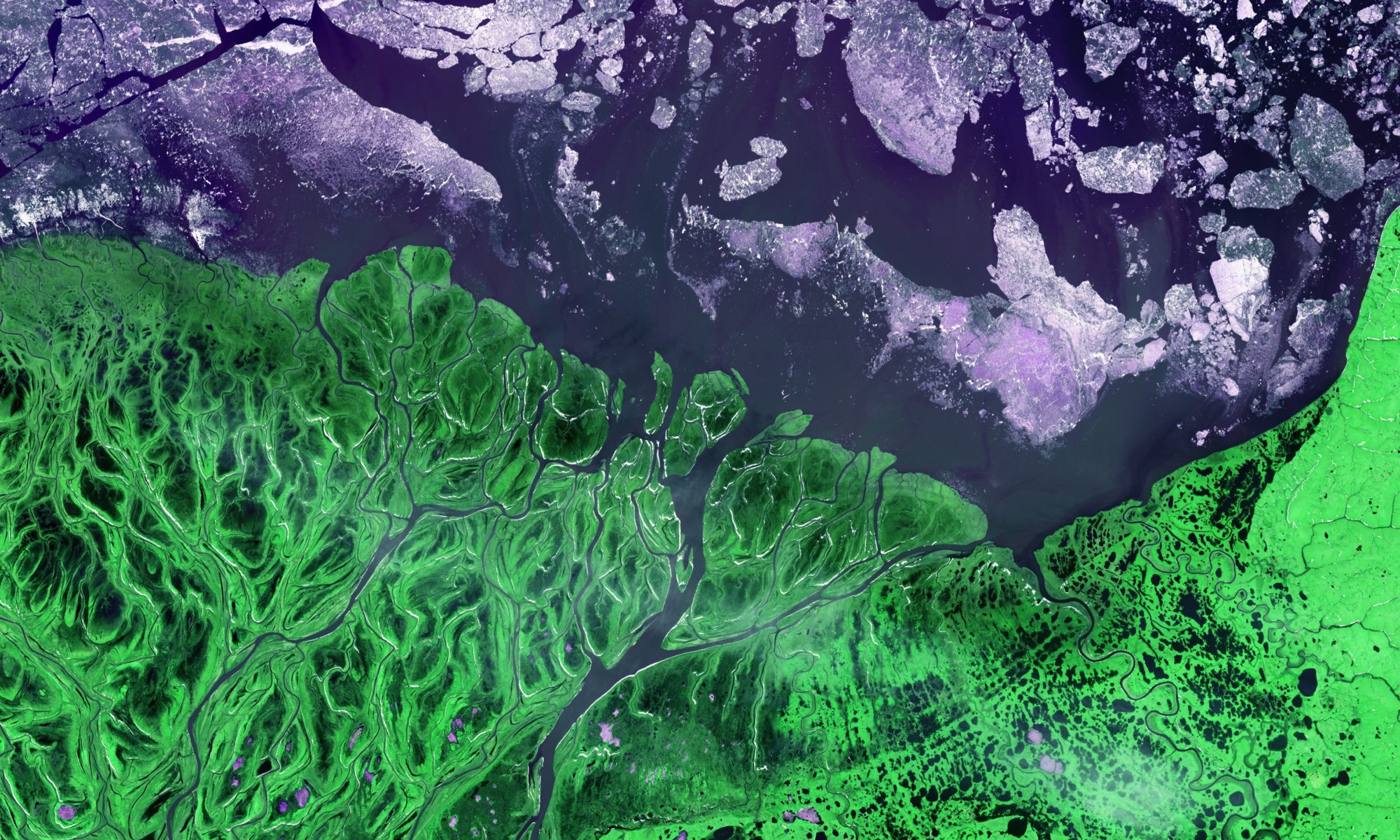
Human pressure is increasing both in and around wildlands which has led to a decrease in aerial extent of wildlands in nearly all Earth’s biomes. This decrease in wild and intact landscapes has the potential to degrade biodiversity, ecosystem services provided to humans, and ecosystem function worldwide. This global problem calls for a global solution. We need to evaluate—at a collaborative, international level—how conservation areas are managed and make the changes necessary to protect ecosystems as human pressure and climate change continue. Steps towards this end were taken at the International Convention on Biodiversity (CBD) where participating nations recognized the importance of biodiversity, acknowledged the threats currently facing it, and laid out targets and actions to combat this biodiversity loss in a Strategic Plan for Biodiversity. The main conduit for implementing this Strategic Plan is a series of country specific National Biodiversity Strategies and Action Plans (NBSAPs).
Our focus in supporting these NBSAPs is on the creation and integration of remote sensing products (supported by UNDP’S Global Pulse initiative focusing on “big data”) that will provide information about the status and trends of biodiversity and ecological condition. We are developing geospatial data products that are global in extent, but also relevant to the 135 UNDP participating countries at a regional scale; and use these products to inform a decision support system (DSS) that will provide these countries with tools for summarizing data, evaluating trends and communicating results.
Advances in remote-sensing technology now allow for elements of forest condition to be quantified globally at 30-m resolution. We are building on these advancements to integrate forest condition maps and human impact maps to create new metrics of forest integrity and evaluate change over time in connectivity between high integrity forests. These products will ultimately allow nations to make informed land management decisions to better preserve biodiversity.
Our work uses forest characteristics derived from Landsat data to create forest condition indicies that allow mapping of forested lands beyond simple binary classifications (forest or nonforest) to more continuous gradients of forest condition. We work with updated and improved Human Footprint (HFP) data sets, which map human impacts on a global scale based on nighttime lights, roads and settlements. These various data sets on condition and impacts are combined to define metrics of forest integrity (a system’s capacity to maintain structure and ecosystem function using processes and elements characteristic to the ecoregion) which, in turn, allows us to map categories of forest integrity.
Once areas of high integrity forest are identified, we can assess connectivity – and changes in connectivity – between these high integrity forests. We also use these products in tandem to test whether changes in forest integrity and connectivity are impacting forest dependent species and whether species extinction rates can be expected to change in response to habitat fragmentation. Ultimately we seek to establish causal linkages between forest integrity/connectivity and extinction risk, and minimize biodiversity impacts while facilitating sustainable human livelihoods.
All of this is being done in close collaboration with the UNDP nations developing NBSAPs to ensure that our products and analyses are serving the needs of countries in meeting the Sustainable Development Goals, and helping them carry out their associated biodiversity conservation plans and strategies.
Funding
NASA Ecological Forecasting Program
Representative Publications
- Goetz, S. J., Hansen, M., Houghton, R. A., Walker, W., Laporte, N., & Busch, J. (2015). Measurement and monitoring needs, capabilities and potential for addressing reduced emissions from deforestation and forest degradation under REDD+. Environmental Research Reviews, 10(12), 123001. http://doi.org/10.1088/1748-9326/10/12/123001
- Hansen, M. C., Potapov, P. V, Moore, R., Hancher, M., Turubanova, S. A., Tyukavina, A., … Townshend, J. R. G. (2013). High-Resolution Global Maps of 21st-Century Forest Cover Change. Science, 342(6160), 850–853. http://doi.org/10.1126/science.1244693
- Jantz, P., Goetz, S. and Laporte, N., 2014. Carbon stock corridors to mitigate climate change and promote biodiversity in the tropics. Nature Climate Change, 4(2):138-142
- Venter, O. (2014). REDD+ Policy: Corridors of carbon and biodiversity. Nature Climate Change, 4(2), 91–92. http://doi.org/10.1038/nclimate2115