
Global Ecosystem Dynamics Investigation
Principal Investigator
Scott Goetz
Collaborators
Ralph Dubayah (University of Maryland), Bryan Blair (NASA Goddard Space Flight Center), Patrick Jantz (Northern Arizona University), GEDI Science Team members
Overview
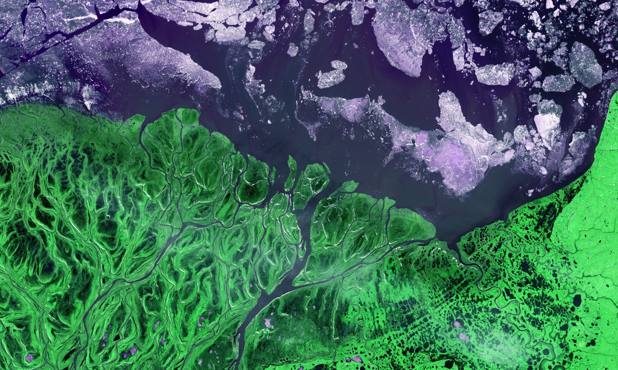
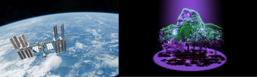
The GEDI project will build, launch and install a lidar (Light Detection and Ranging) instrument on the International Space Station. The GEDI lidar will fire billions of laser shots at the surface over the earth over its 2-year operational period (2019-2020) that will allow the science team to map forest canopy heights, canopy vertical structure, aboveground biomass and surface topography with unprecedented accuracy. This will provide the first high resolution (≤ 500 m) measurement of the 3D structure of Earth’s tropical and temperate forests.
These GEDI products will advance scientific understanding in a variety of disciplines. Scientists studying the carbon cycle will be able to quantify the distribution of above ground carbon at a fine spatial scale, quantity changes in carbon resulting from disturbance and recovery, and quantify the carbon sequestration potential of forests through time and changing climate and land use conditions. Ecologists will be able quantify the spatial and temporal distribution of habitat structure and its relationship to habitat quality and biodiversity. GEDI measurements of canopy height, canopy structure and surface topography can also be used to parameterize models ranging from radiation transfer for snowmelt, evapotranspiration, surface energy balance, snow depth, and mountain glaciers to atmospheric circulation to digital elevation. This is just a small sample of the scientific work that can be realized with GEDI, the full extent to which GEDI products will spur scientific research is yet to be discovered. Learn more at GEDI.
This short video gives an excellent overview of the GEDI mission:
For more details, see the full story here.
Funding
NASA Earth Venture Missions